
File:Martinique relief location map.jpg
Size of this preview: 518 × 599 pixels. Other resolutions: 207 × 240 pixels | 415 × 480 pixels | 961 × 1,112 pixels.
ʻAsi ʻa e faitā auiiki ((961 × 1,112 meʻaʻata, ko e faile hono lahi: 141 KB, faʻahinga MIME: image/jpeg))
Fakanounou
| Fakamahino |
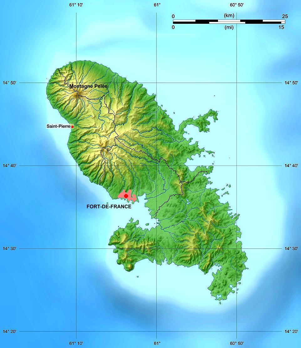
Deutsch: Reliefkarte von Martinique |
| Date | (Abwandlung), August 2008 (Original) |
| Tupunga | de:File:Martinique department relief location map.jpg |
| Author |
|
| Other versions |
 |
Laiseni:
This file is licensed under the Creative Commons Attribution-Share Alike 3.0 Germany license.
- You are free:
- to share – to copy, distribute and transmit the work
- to remix – to adapt the work
- Under the following conditions:
- attribution – You must give appropriate credit, provide a link to the license, and indicate if changes were made. You may do so in any reasonable manner, but not in any way that suggests the licensor endorses you or your use.
- share alike – If you remix, transform, or build upon the material, you must distribute your contributions under the same or compatible license as the original.

This file is licensed under the Creative Commons Attribution-Share Alike 3.0 Unported license.
- You are free:
- to share – to copy, distribute and transmit the work
- to remix – to adapt the work
- Under the following conditions:
- attribution – You must give appropriate credit, provide a link to the license, and indicate if changes were made. You may do so in any reasonable manner, but not in any way that suggests the licensor endorses you or your use.
- share alike – If you remix, transform, or build upon the material, you must distribute your contributions under the same or compatible license as the original.

|
Permission is granted to copy, distribute and/or modify this document under the terms of the GNU Free Documentation License, Version 1.2 or any later version published by the Free Software Foundation; with no Invariant Sections, no Front-Cover Texts, and no Back-Cover Texts. A copy of the license is included in the section entitled GNU Free Documentation License. |
Original upload log
Transferred from de.wikipedia to Commons by Wdwdbot using script bot_filetrans.pl (r49M).
The original description page was here. All following user names refer to de.wikipedia.
- 2010-03-30 09:34:03 Geoethno (144393 Bytes) {{Information |Beschreibung = Reliefkarte von Martinique |Quelle = [[Datei:Martinique department relief location map.jpg]] |Urheber = Änderungen von geoethno |Datum = 2010 |Genehmigung = |Andere Versionen = |Anmerkungen = }}
Hisitōlia ʻo e faile
Lomiʻi ha ʻaho/taimi ki he vakai ʻo e faile naʻe ʻi ai he taimi ko iá.
| ʻAho/Taimi | ʻAtasiʻi | Hono lahi | ʻEtita | Fakamatala | |
|---|---|---|---|---|---|
| taka | 17:49, 16 Mē 2016 | | 961 × 1,112 (141 KB) | Wdwdbot | Bot Move: Original uploader of this revision (#1) was Geoethno at de.wikipedia |
Faitā fehokotaki
ʻOku fehokotaki ʻa e ngaahi peesi ki he failé ni:
Global file usage
The following other wikis use this file:
- Usage on en.wikipedia.org
- Usage on fr.wikipedia.org
- Usage on hu.wikipedia.org
- Usage on ky.wikipedia.org
- Usage on pcd.wikipedia.org
- Usage on pih.wikipedia.org
- Usage on ru.wikipedia.org