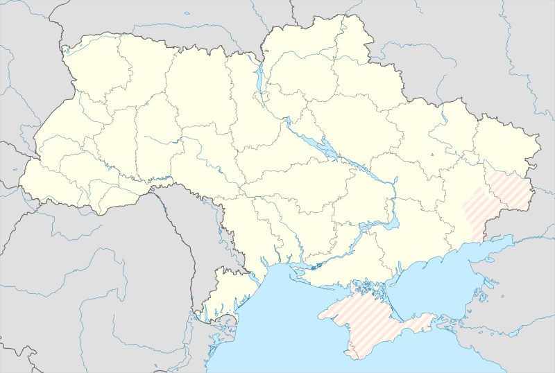
File:Ukraine under russian occupation.svg

Size of this PNG preview of this SVG file: 800 × 538 pixels. Other resolutions: 320 × 215 pixels | 640 × 430 pixels | 1,024 × 688 pixels | 1,280 × 860 pixels | 2,560 × 1,720 pixels | 3,780 × 2,540 pixels.
ʻAsi ʻa e faitā auiiki ((Faile SVG, lau pē 3,780 × 2,540 meʻaʻata, ko e faile hono lahi: 1.36 MB))
Hisitōlia ʻo e faile
Lomiʻi ha ʻaho/taimi ki he vakai ʻo e faile naʻe ʻi ai he taimi ko iá.
| ʻAho/Taimi | ʻAtasiʻi | Hono lahi | ʻEtita | Fakamatala | |
|---|---|---|---|---|---|
| taka | 15:45, 9 ʻAokosi 2023 |  | 3,780 × 2,540 (1.36 MB) | Dƶoxar | Until the war ends it has no sense to maintain another map with actual frontline |
| 09:32, 25 Siulai 2023 |  | 3,780 × 2,540 (1.64 MB) | ASDFPM | Reverted to version as of 17:17, 3 October 2022 (UTC) | |
| 02:45, 12 Nōvema 2022 |  | 3,780 × 2,540 (1.36 MB) | Qexypnos | Reverted to version as of 17:02, 3 March 2018 (UTC) | |
| 17:17, 3 ʻOkatopa 2022 |  | 3,780 × 2,540 (1.64 MB) | Janitoalevic | Update | |
| 17:02, 3 Maʻasi 2018 |  | 3,780 × 2,540 (1.36 MB) | Yakiv Gluck | improved using new adm loc map | |
| 01:08, 27 Sānuali 2018 |  | 1,546 × 1,038 (457 KB) | Yakiv Gluck | {{Information |Description ={{en|Location map of Ukraine under russian occupation.}} {{uk|Карта України з зонами російської окупації.}} |Source =own work, using [[:F... |
Faitā fehokotaki
ʻOku ʻikai ha ngaahi peesi fehokotaki ki he faitā ni.
Global file usage
The following other wikis use this file:
- Usage on an.wikipedia.org
- Usage on de.wikipedia.org
- Usage on en.wikipedia.org
- Usage on es.wikipedia.org
View more global usage of this file.


